Skip to content
MotoAtlasMotoAtlasMotoAtlasMotoAtlas
two_wheelerToursterrainRoutes
routePlan your ridearrow_forwardperson
MotoAtlas

Routes for riders who'd rather take the long way. Surveyed, ridden and written up for touring and dual-sport travel.

  • explore
  • two_wheeler
  • terrain
  • public

Tour categories

  • Alpine high passes
  • Desert & dune crossings
  • Backcountry discovery
  • Coastal fjord traverses
  • Guided dual-sport

Expedition resources

  • Trans-Alpine GPX (demo)
  • Carnet & border crossing prep
  • Technical tire & luggage specs
  • Satellite SOS & wayfinding
  • Safety protocols & evacuation

© 2026 MotoAtlas Expedition Technologies. All rights reserved.

  • Terms of service
  • Privacy policy
  • Route safety disclaimer
  • exploreExplore
  • terrainAtlas
  • routePlan
  • personProfile
Skip to content
MotoAtlasMotoAtlasMotoAtlasMotoAtlas
two_wheelerToursterrainRoutes
routePlan your ridearrow_forwardperson
MotoAtlas

Routes for riders who'd rather take the long way. Surveyed, ridden and written up for touring and dual-sport travel.

  • explore
  • two_wheeler
  • terrain
  • public

Tour categories

  • Alpine high passes
  • Desert & dune crossings
  • Backcountry discovery
  • Coastal fjord traverses
  • Guided dual-sport

Expedition resources

  • Trans-Alpine GPX (demo)
  • Carnet & border crossing prep
  • Technical tire & luggage specs
  • Satellite SOS & wayfinding
  • Safety protocols & evacuation

© 2026 MotoAtlas Expedition Technologies. All rights reserved.

  • Terms of service
  • Privacy policy
  • Route safety disclaimer
  • exploreExplore
  • terrainAtlas
  • routePlan
  • personProfile
Skip to content
MotoAtlasMotoAtlasMotoAtlasMotoAtlas
two_wheelerToursterrainRoutes
routePlan your ridearrow_forwardperson
MotoAtlas

Routes for riders who'd rather take the long way. Surveyed, ridden and written up for touring and dual-sport travel.

  • explore
  • two_wheeler
  • terrain
  • public

Tour categories

  • Alpine high passes
  • Desert & dune crossings
  • Backcountry discovery
  • Coastal fjord traverses
  • Guided dual-sport

Expedition resources

  • Trans-Alpine GPX (demo)
  • Carnet & border crossing prep
  • Technical tire & luggage specs
  • Satellite SOS & wayfinding
  • Safety protocols & evacuation

© 2026 MotoAtlas Expedition Technologies. All rights reserved.

  • Terms of service
  • Privacy policy
  • Route safety disclaimer
Skip to content
MotoAtlasMotoAtlasMotoAtlasMotoAtlas
two_wheelerToursterrainRoutes
routePlan your ridearrow_forwardperson
placeHomechevron_rightDestinationschevron_rightPatagonia & Tierra del Fuego
Popular

Patagonia & Tierra del Fuego

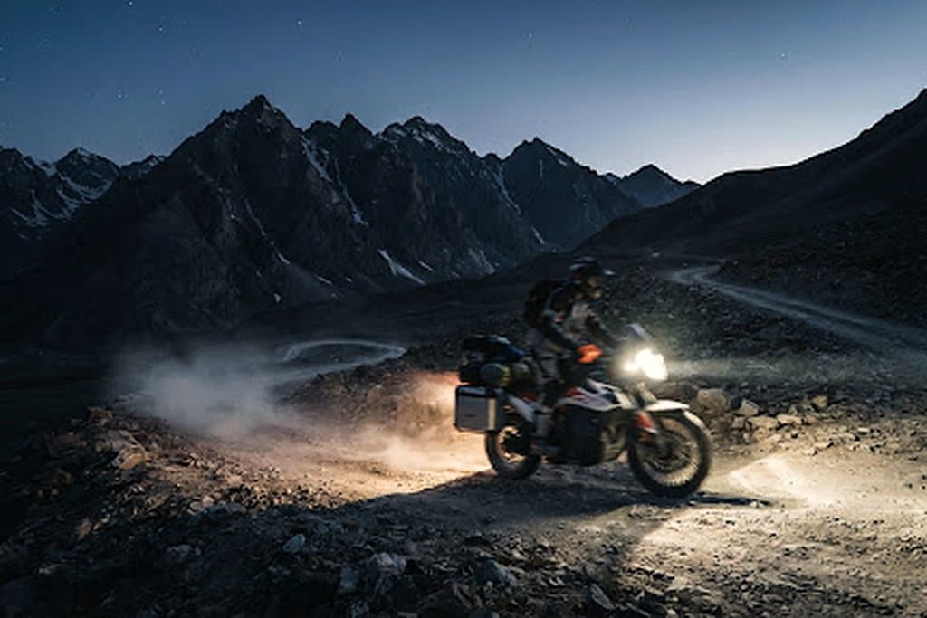
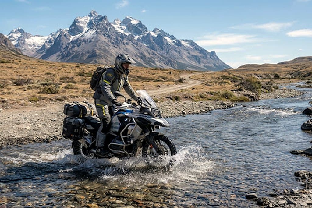
The southern cone between Bariloche and Ushuaia is the closest thing on earth to a gravel expedition that never lets up: fjords, ice fields, pampas crosswinds and three border crossings in a single week.
Patagonia & Tierra del Fuego
routeThrough-route
3,850 km
Bariloche → Ushuaia
landscapeUnpaved
70%
ripio + fjord gravel
airPeak gusts
90 km/h
open pampas
calendar_todayPrime window
Nov - Mar
austral summer

Territory dossier

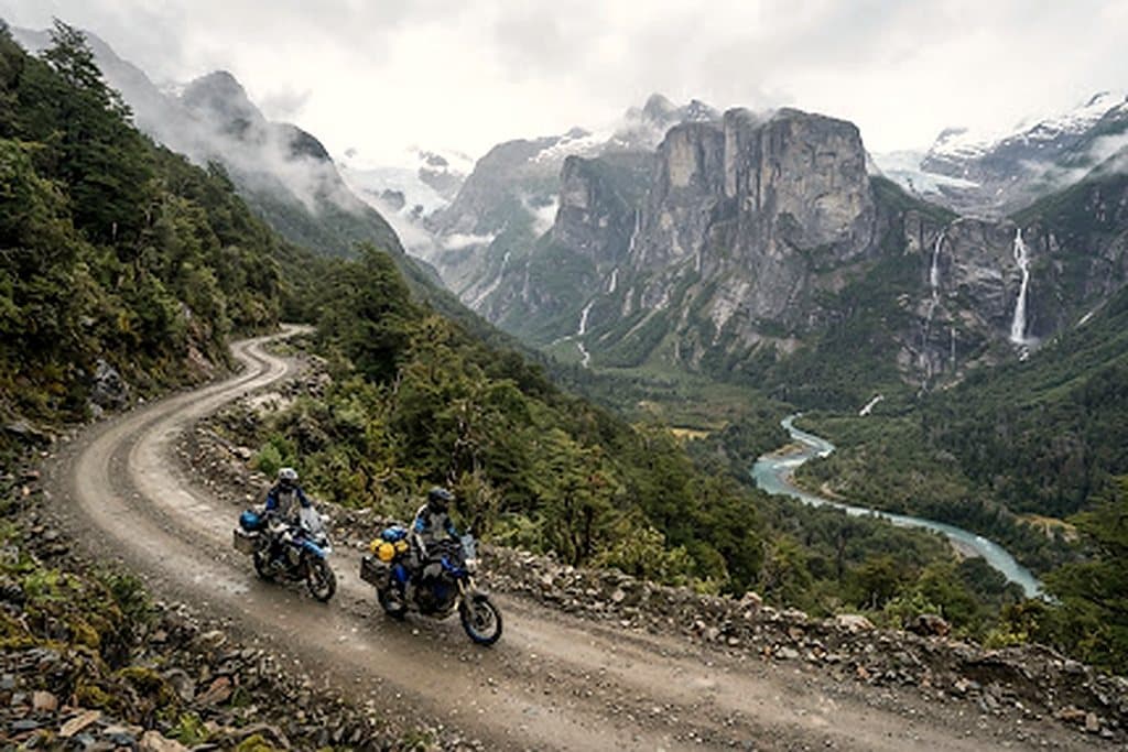
You ride two countries in one line: Argentina's Ruta 40 southbound, then Chile's Carretera Austral where the road becomes gravel between fjords and hanging glaciers.

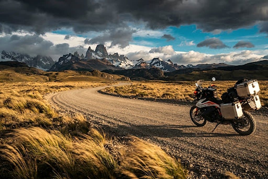
Weather is the route: a 90 km/h crosswind turns an easy pampas straight into a counter-steering drill. Plan short days with a margin, and never commit to a fjord crossing late in the afternoon.

Fuel and lodging gaps are the second constraint — the longest surveyed leg runs close to 240 km without a reliable pump.
Route highlights

  • check_circleQueulat hanging glacier and the Carretera Austral fjord gravel
  • check_circlePerito Moreno ice front and the Fitz Roy granite spires
  • check_circleStrait of Magellan RORO crossing into Tierra del Fuego
  • check_circleThree Argentine-Chilean border crossings with temporary import paperwork

calendar_monthSeasonal windows

  • Nov - JanPrime

    Long daylight (up to 17h), manageable pass snow, firm gravel.

  • Feb - MarLate season

    Cooler mornings, intense southerly gusts, early autumn foliage.

  • Apr - OctPasses closed

    Paso Roballos snowbound; extreme sub-zero steppe conditions.

Linked expeditions

  • Patagonia Explorercalendar_today14 daysroute3,850 kmarrow_forward
  • Baja 1000 Corridorcalendar_today11 daysroute2,800 kmarrow_forward

Terrain gallery

Patagonia & Tierra del Fuego — terrain 1
Patagonia & Tierra del Fuego — terrain 2
Patagonia & Tierra del Fuego — terrain 3

One route worth riding, every week

Open passes, fresh tracks and hard-won lessons. No fluff, no spam.

mail

MotoAtlas

Routes for riders who'd rather take the long way. Surveyed, ridden and written up for touring and dual-sport travel.

  • explore
  • two_wheeler
  • terrain
  • public

Tour categories

  • Alpine high passes
  • Desert & dune crossings
  • Backcountry discovery
  • Coastal fjord traverses
  • Guided dual-sport

Expedition resources

  • Trans-Alpine GPX (demo)
  • Carnet & border crossing prep
  • Technical tire & luggage specs
  • Satellite SOS & wayfinding
  • Safety protocols & evacuation

Waypoint dispatches

New routes, open passes and road intel, once a week.

mail

© 2026 MotoAtlas Expedition Technologies. All rights reserved.

  • Terms of service
  • Privacy policy
  • Route safety disclaimer