Wayfinding & avionics
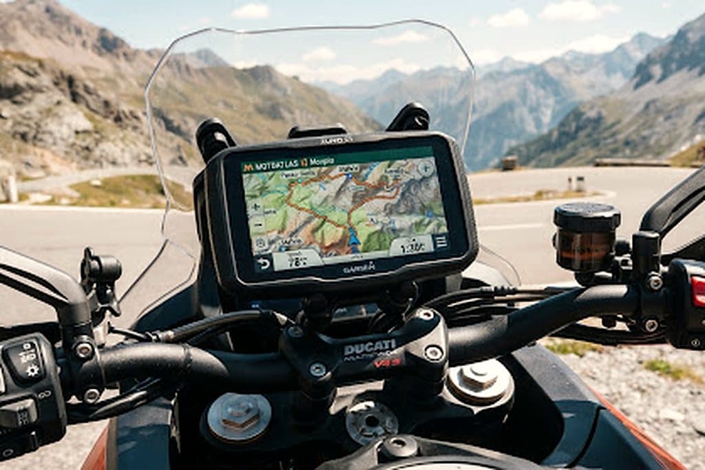
Ultra-bright 5.5-inch glove-friendly display with preloaded topographic maps and expedition track logs.
Verdict
Still the most reliable dedicated navigator for remote routes, provided you treat it as a map, not as a phone.
The 5.5-inch display stays readable in direct alpine sun, which is more than can be said for any phone we have tested. Gloves work; wet gloves mostly work.
Garmin's topographic layer and the ability to import GPX tracks straight from our dossiers is the reason it stays on the bar. Track logs are accurate to a few metres in canyon terrain.
The interface is dated compared to a phone, and route recalculation can be stubborn on unpaved shortcuts. Load tracks, not destinations.
Battery life is about 6 hours at full brightness; wire it to the bike and forget it.
Route mapping & border telemetry
The field guide behind this review.